

The handbook for the assessment of landslide and flood hazards and risk will support the generation and application of hazard and risk information in planning and infrastructure design. By using the book the governments of the five participating governments will have an improved understanding of the fundamentals of hazard and risk. This book provides an overview of existing methods, both quantitative and qualitative that can be applied for the assessment of landslide and flood hazards and risk, and how risk maps can be used in disaster risk management. The book is intended to show engineers, planners and spatial analyst how they should include the relevant flood and hazard related data requirements, analysis methods and shareable and standardized output data in the writing of Terms of Reference for projects involving external consultants. The Handbook will discuss the appropriateness of applying a certain method for a given problem in terms of data needs, scale (resolution), uncertainty, required expertise and the physiographic setting. It will describe in detail nine national hazard mapping studies. The handbook will also link to internet resources that provide data and Meta data, analyzes tools and their manuals, and results of other studies and scientific papers. This will be a theoretical handbook with links to specific examples from the target countries, and the data available for these.
Main intended users
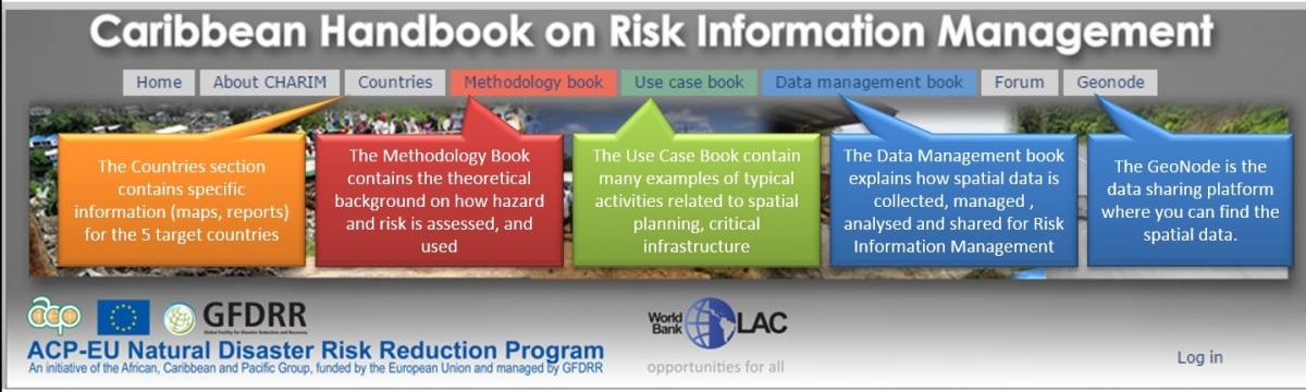
This book is intended for the following main users:
Engineers from the Public Works Departments
They require flood and landslide information to better identify the most vulnerable sections of the road network, plan for road clearance after the occurrence of triggering events, to plan remedial measures for impacted road sectors, and for planning new roads, and alternative routes. They would require digital information on the road network in the form of a road database, which stores information for each segment of the road network. These segments should be based on the specific characteristics of the road and the terrain through which the road passes.
Planners from the Physical Planning Departments
They need landslide information to better include unsuitable areas for development in national and local level land use plans. They also need to include this information in the building permit issuing and in land subdivision process. They need landslide and flood susceptibility maps for national scale planning, or hazard maps for the larger scales. These should be integrated with other natural hazard maps in a multi-hazard restriction map that should have a legal status and serves as base data for planning. After a landslide event has taken place, they need to know the characteristics of the affected area, in order to develop reconstruction plans.
Spatial Analysts from different government organizations.
There are relatively few experts on collecting and managing spatial data in the target countries. They need to work on the development of a geospatial framework, addressing data availability, challenges in use and interoperability, current use and collaborations, gaps and areas of improvements and the status of the national GeoNode. Whereas they are the main target users for the Data Management book, also they need to know how landslide and flood susceptibility, hazard and risk maps are made and what the data requirement are.
Staff of the National Emergency Management Organisations (NEMO) / Office of Disaster Management (ODM)
It is very important for the disaster response organisations to learn from past events, in order to better prepare for future ones. A good knowledge on the location of historical floods and landslides, and the characteristics related to blockage of roads, destruction of buildings, electricity networks, telecommunication facilities, and the number and type of casualties is very important. Specific emphasis should be given to hazard assessment of the shelters, and other critical facilities, and to shelter planning. Also Early Warning is an important issue. This requires good spatial information. As the NEMO's/ODM's are also playing the role of first responders (911 centers) they receive a lot of direct information on hazardous events
Staff from Forestry Department
Floods and landslides may impact forests substantially, and for forest management it is important to take into these into account, and how vegetation regrowth takes place in areas affected. It is also very important to rapidly map affected forested areas after a major triggering event, as the debrisflows and flashfloods that may follow from these events can have a large impact on downstream areas. From previous events, such as hurricane Tomas in Saint Lucia, we have also learned the importance to monitor the areas affected by landslides and floods during a large triggering event, as they may slowly recover, but could be reactivated if a new event occurs (e.g. the Christmas eve trough in 2013).
Water Resources department
For watershed management purposes it is very important to know the location of historical landslides, and to estimate the discharge, amount of sediments, and treetrunks that may be transported through the drainage channel in case of strong rainfall events. Similar data requirements as indicated for the forestry department can be outlined for the water resources department, although the interaction of landslides with the drainage network (e.g. in terms of sediment delivery but also in terms of potential blocking sites) is of large importance.
Main questions that will be addressed in this book
The main questions that will be addressed in this book are:
- Which scales of analysis are relevant for susceptibility and hazard assessment in the target countries?
- Which historical information is available on the occurrence of hazardous events, and how these data can be used to assess the frequency of future events?
- How to model temporal probability of triggering events at the local level for flood and landslide hazard types?
- How to model initiation of the hazard: hydrological modelling for flooding and mass movement initiation modelling?
- How to model the areas that might be affected by spreading of the hazards: hydrodynamic modelling for flooding and landslide runout modelling?
- How to model multi-hazards: interaction of hydro-meteorological events (same trigger, cascading hazards, concatenated hazards)
- How to characterize elements-at-risk, focusing on transportation network and critical facilities?
- How to represent vulnerability of transportation network and critical facilities?
- How to model uncertainties in all components that contribute to risk (temporal probability, spatial probability, intensity probability, vulnerability, costs etc.)
- How to model risk for multi-hazards at the local level, including direct and indirect losses (individual risk, societal risk, economic risk )
- How to link non-quantifiable aspects of vulnerability (indicators for social, economic and environmental vulnerability)