Introduction
Geological maps represent the solid geology at the Earth's surface unconcealed by vegetation, soil or buildings. Different rock types and formations are illustrated by different colours and/or symbols. Other features such as faults, mineral veins, coal seams, marker horizons and landslips are shown. Bedding and structural features such as cleavage and foliations are indicated by strike and dip or plunge and azimuth symbols.
There are several different types of geological maps, the main ones being solid geology, which show bedrock, and drift maps, which show unconsolidated sediments such as river alluvium, peat and glacial deposits that lie above bedrock. Geological maps usually include stratigraphic columns and one or more cross section. Stratigraphy columns show the different formations on the map in the order of deposition, with the oldest at the bottom and youngest at the top. They also show their thicknesses and are usually drawn to scale. The cross sections show the sub-surface (and often the above-surface) geology, as predicted from the features mapped at the surface
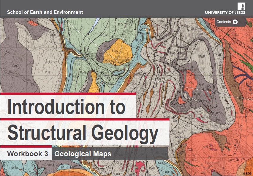
Click on the Figure below, to access a workbook on geological maps made by the University of Leeds.
Example of a Geological map from Dominica
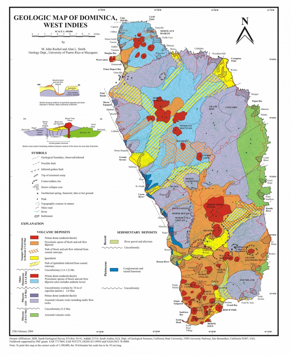
Practically all rocks in Dominica are of volcanic origin, with the exception of a small unit consisting of limestone on the Leeward side. Dominica is characterized by a series of 8 major volcanoes (SRU, 2000). Due to their volcanic origin, the geologic units are complex, including ignimbrites, lava flows, lahar deposits, and volcanic ashes. All of them are very heterogeneous (vertical and horizontal changes) and have not been mapped in detail for Dominica. The geologic map for Dominica contains only 10 units, subdivided according to its origin (volcanic or sedimentary) and to its age. The units are very general, and generally do not differentiate between lithological units that have a different behaviour with respect to landslides (e.g. lavas and pyroclastic deposits which have different characteristics such as texture, cementation, and strength).
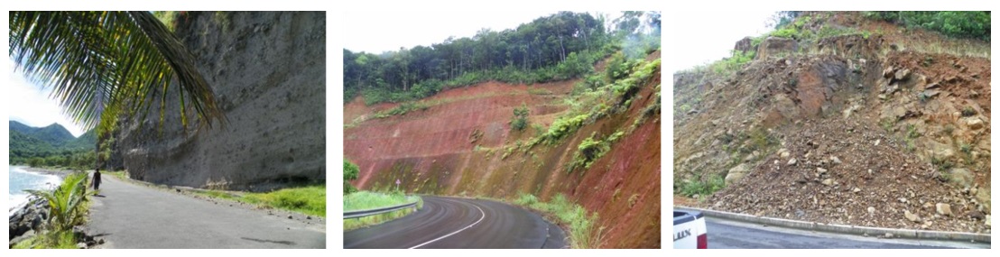
As it could be seen during the fieldwork, the difference between rocks and soils is not clear in engineering terms, due to the relative degree of consolidation of the volcanic deposits, their heterogeneity and the effect of weathering. The volcanic deposits are usually very thick. This can be observed in near vertical road-cuts (See Figure). Analysing the behaviour of road cuts in volcanic ash soils requires a detailed analysis of soil types which is not possible in this study. Volcanic bedrock in tropical climates is susceptible to deep weathering and mass wasting. Weathered volcanic soil is weaker than the original bedrock and the high precipitation on the island increases pore-water pressure within discontinuities decreasing soil shear strength. The loss of shear strength generates zones of failure in which the mass destabilizes in the form of a landslide or debris flow. The original geological map that we obtained from the department of physical planning had some serious topological errors. In order to overcome problem associated with missing polygons, it was necessary to re-digitize the geology map again. In order to make the lithological map more realistic we decided to combine it with the slope class map, thus allowing to evaluate the combination of lithological units under different slope classes.