About CRIS
WHAT IS CRIS?
The Caribbean Risk Information System (CRIS) is a multi-faceted virtual platform that hosts risk management data and information accessible to stakeholders to facilitate analysis, research, greater awareness of risk management and climate change adaptation in the region. The CRIS contributes to the region’s sustainable development efforts by enhancing and strengthening disaster risk and climate change information sharing to drive evidence-based decision-making processes at all levels.
Through its three major components (GeoCRIS, Virtual Library and Databases), stakeholders can access a range of information products to benefit CDEMA’s 19 participating states.
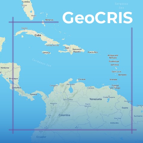
The GeoCRIS component provides access to geospatial data for each of the participating states.
The virtual library hosts documents including CDEMA and partner products, climate change adaptation information and CDM Sector resources.
The Databases component provides knowledge on disaster events, early warning systems and risk profiles.
The CRIS will also host a live emergency log with real time information as an event unfolds to inform decision-making processes.
WHY CRIS?
In order to improve information and knowledge sharing throughout the CDEMA system, the CRIS provides access to information on all hazards including climate induced hazards and how to reduce risk from disasters to build disaster resilient states and promote regional sustainable development. The CRIS therefore facilitates the delivery of the CDEMA Clearing House function as articulated in the Agreement Establishing the CDEMA.
The CRIS platform falls in line with the Comprehensive Disaster Management (CDM) Strategy 2014-2024 - Increasing knowledge management and learning for informed decision making. It also seeks to solve challenges which arise in coordinating fact-based information systems. These include:
- Lack of data and information
- Un-sustained hosting capacities
- Poor access to data and information
GEOCRIS
The GeoCRIS is the geospatial component of the Caribbean Risk Information System (CRIS). GeoCRIS provides access to geospatial data required for risk and hazard mapping, as well as for disaster preparedness and response operations.
The GeoCRIS includes the Caribbean Handbook on Risk Information Management (CHaRIM), which was developed by the World Bank.
The data from the CHaRIM GeoNode is integrated into the GeoCRIS to facilitate evidence-based decision making and development planning processes.
VIRTUAL LIBRARY
The Virtual Library component of the CRIS is grounded in the Articles of Agreement Establishing CDEMA whereas, a function of the CDEMA Coordinating Unit is to provide a clearing house for relevant information and intelligence in all matters relating to disasters including current research being undertaken in all related regional institutions.
It is also CDEMA’s mandate to develop and maintain a comprehensive and reliable database of all relevant resources necessary to achieve the objectives of CDEMA and a system for updating such database.
Therefore, the CRIS through its Virtual Library, serves as a repository of key disaster risk reduction and climate change adaptation documents including but not limited to model documents: policies, plans, procedures, guidelines, reports and profiles.
SUBSCRIBE TO OUR NEWSLETTER
This phase of the Caribbean Risk Information System (CRIS) has been developed in collaboration with the World Bank with financial support from the European Union (EU) in the framework of the ACP-EU Natural Disaster Risk Reduction Program, managed by the Global Facility for Disaster Reduction and Recovery.
The sole responsibility of this work lies with CDEMA. The World Bank and the European Union are not responsible for any use that may be made of the information contained therein. The boundaries, colors, denominations, and other information shown on any map in this work do not imply any judgment on the part of The World Bank or the European Union concerning the legal status of any territory or the endorsement or acceptance of such boundaries.
The sole responsibility of this work lies with CDEMA. The World Bank and the European Union are not responsible for any use that may be made of the information contained therein. The boundaries, colors, denominations, and other information shown on any map in this work do not imply any judgment on the part of The World Bank or the European Union concerning the legal status of any territory or the endorsement or acceptance of such boundaries.

